

App Maps Communities of 1948 Palestine
iNakba, available only on Apple's iPhone iOS operating system for now, is the brainchild of Zochrot, a Tel Aviv-based group that raises awareness among Jewish Israelis about the Nakba. Arabic for "catastrophe," the word is used to refer to the expulsion and fleeing of more than 700,000 Palestinians in 1948.
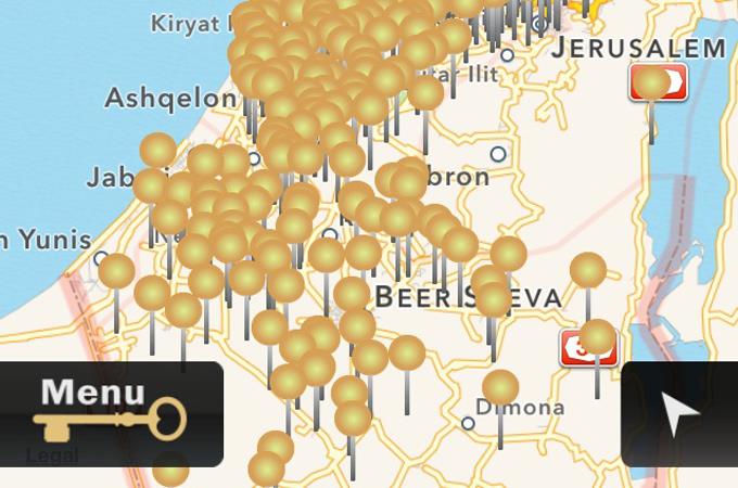
The app, which can be downloaded in Arabic, English and Hebrew, identifies these destroyed localities to younger Palestinians who want to learn about their ancestral homeland, said Raneen Jeries, who worked on developing the app at Zochrot.
"The historical landscape has obviously changed since before 1948," Jeries told Al Jazeera. "And it's difficult to find these destroyed areas on maps. So we decided to put technology to good use, and make this kind of information readily available on people's smartphones."
iNakba relies on a current Google map of teh Occupied Palestine, but merges it with another layer of maps containing the destroyed areas. Users can watch videos and see pictures of the historical cities and towns. An interactive feature allows them to upload their own visual elements and contribute through commentary.
Source: Aljazeera
